Walking trail through historic St John's

St. John’s Heritage Trail

Free to Walk

No ticket, no booking, no guide. The trail runs on public streets and is open whenever you are.

27 Sites

Fifteen stops, with photos, are directly on the trail. And another twelve stops are nearby.

Before you set out

Read this information to learn more about the trail

Start Walking

Download the digital version of the map or use this site and start walking

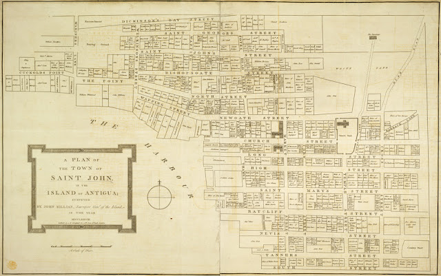
The 1788 Killian map of St. John's, showing the street grid
The 1788 Killian map, showing the streets and alleys and the owners of the properties at that time.
Explore the map

A walk through four centuries

History of St. John's


St. John's has been the administrative centre of Antigua since the island was first colonized in 1632, and by 1701 it had become its main trading town. The grid of broad avenues and narrower cross streets was complete by the early 1700s, and it is the grid this trail is walked on today.

St. John's remains a working city, with the wharfs, stores and houses built by skilled enslaved labour, or after emancipation in 1834, by skilled carpenters, bricklayers and masons.

Much of what stands was built after the great fire of 1666, in brick, limestone and wood, and rebuilt again after the fires of 1769 and 1841 and the earthquakes of 1745 and 1843.

Read the full history

Begin at the Quay


Twenty-seven stops through streets laid out in the early 1700s, about ninety minutes on foot. These are the first six, in the order you meet them.

See all 27 stops
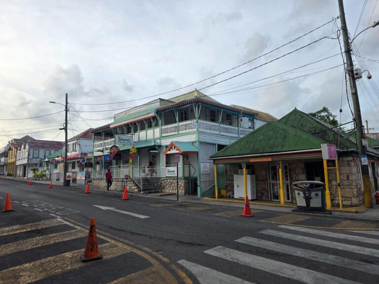
  • 1 Lower Redcliffe Street, St. John's

    Lower Redcliffe Street

    Redcliffe St

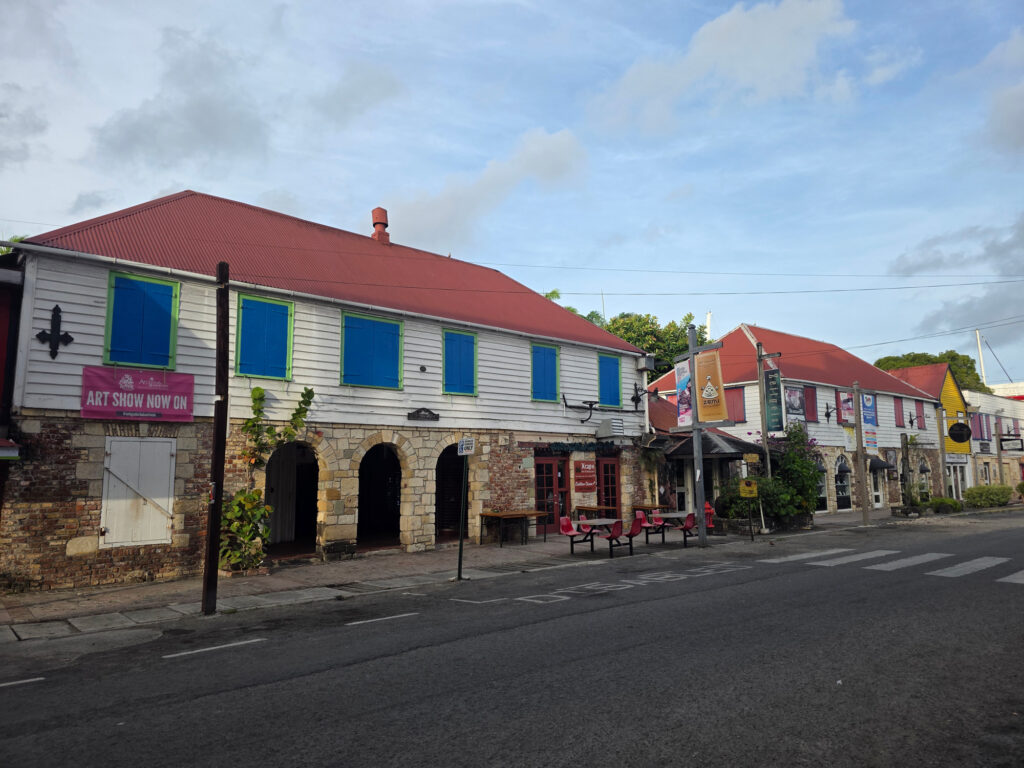
    Called Ratcliffe Street on maps from the 1700s. Warehouses with stone ground floors and ornate timberwork above, renamed Redcliffe Quay in the 1980s.

    Read more
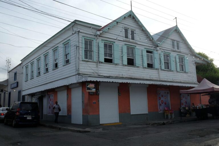
  • 2 The first Catholic Church building, Redcliffe Street

    First Catholic Church

    Redcliffe St

    In the 1850s this housed the first Catholic Church, a chapel below and the Presbytery above, serving the newly arrived Portuguese.

    Read more
  • 3 An old brick water cistern, St. John's

    Water Cistern

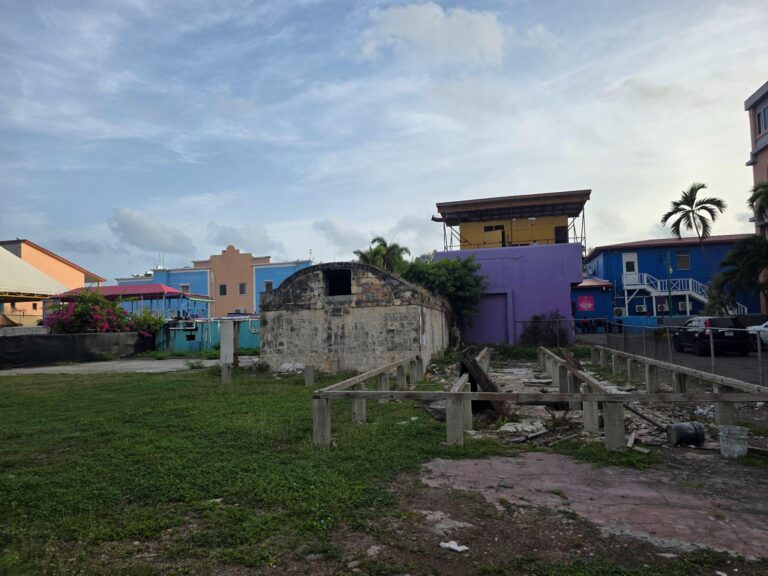
    Antigua was prone to long droughts. One of the few traditional brick cisterns left, of the kind almost every large house once had.

    Read more
  • 4 Lower St Mary's Street, St. John's

    Lower St Mary's Street

    St Mary's St

    The building that now houses Hemingway's was owned by Emmanuel Oliver Camacho, with rooms for his twelve children. Later Jardine's Court.

    Read more
  • 5 Market Street, formerly Scotch Row, St. John's

    Market Street (Scotch Row)

    Market St

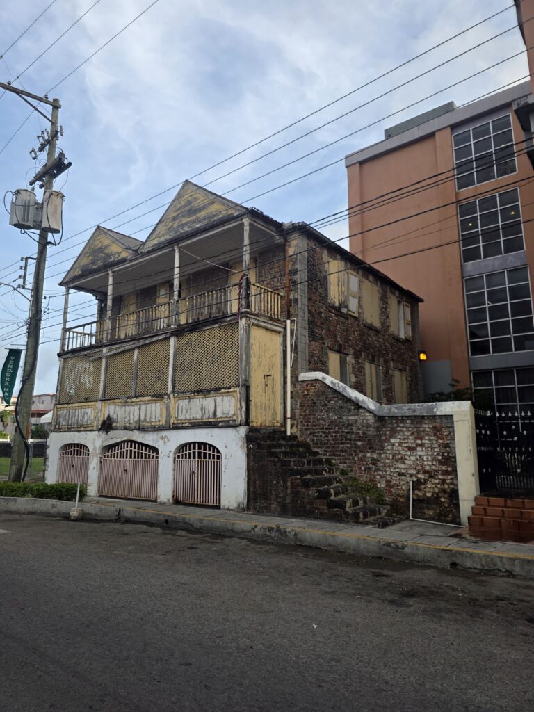
    Named for the Scots who arrived in the 1800s to clerk in the stores and came to own them. Wrought-iron side stairs and an ornamental parapet.

    Read more
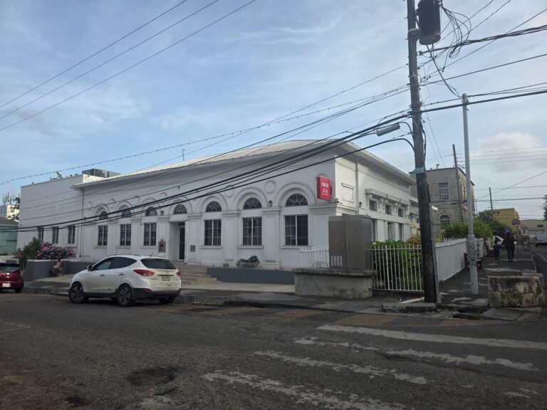
  • 6 The former Barclays Bank building, St. John's

    Barclays Bank

    High St

    The Colonial Bank of 1836, reincorporated as Barclays in 1925. The brand stayed on the island until 2002, when it became FirstCaribbean.

    Read more

HERITAGE

Twenty-Seven Stops Through the City

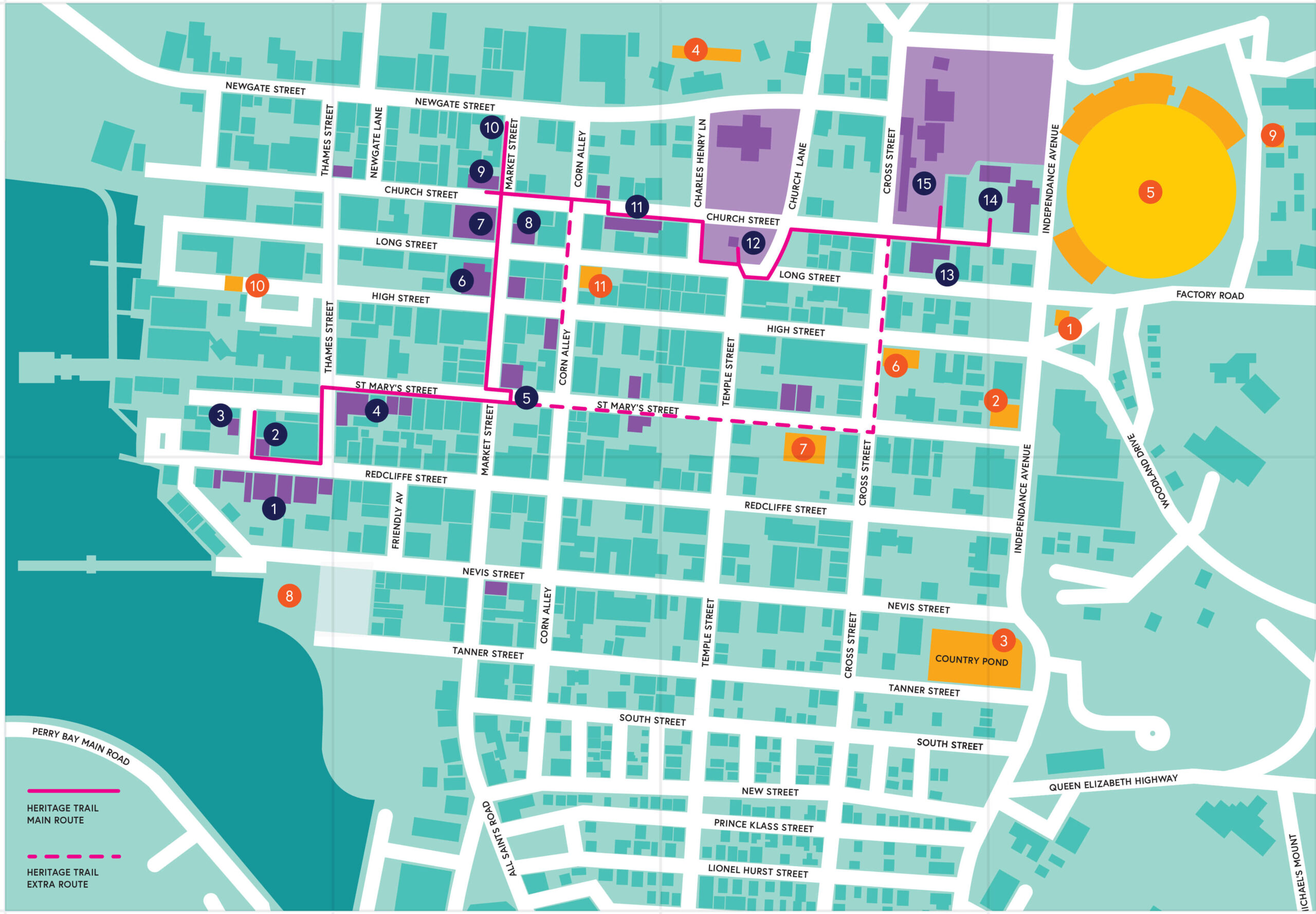
From the warehouses of Redcliffe Quay to Government House, the trail runs through the streets laid out in the early 1700s. Georgian, Victorian, Romantic and Vernacular buildings stand side by side, and each stop has its own page with photographs and history.


The St. John's Heritage Trail map, showing the route through the city and the numbered stops

Take it with you

The Trail Map

All twenty-seven stops on one sheet, with a QR code at every one. Print it, or keep it on your phone and scan as you walk.